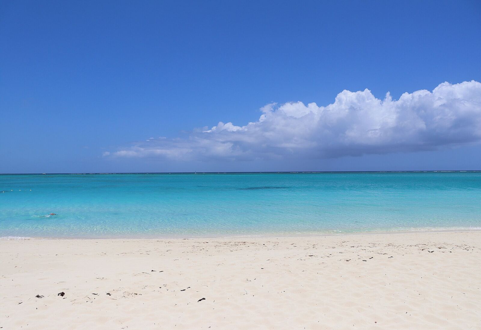
Caribbean Travel Guide
Turquoise bays, volcanic peaks, colonial cities and reggae-soaked sunsets. Find your island, map the landmarks and plan the hops between them.
Find your island
Every island has its own accent, food and pace. Start with these favourites, or browse all 21 by region.
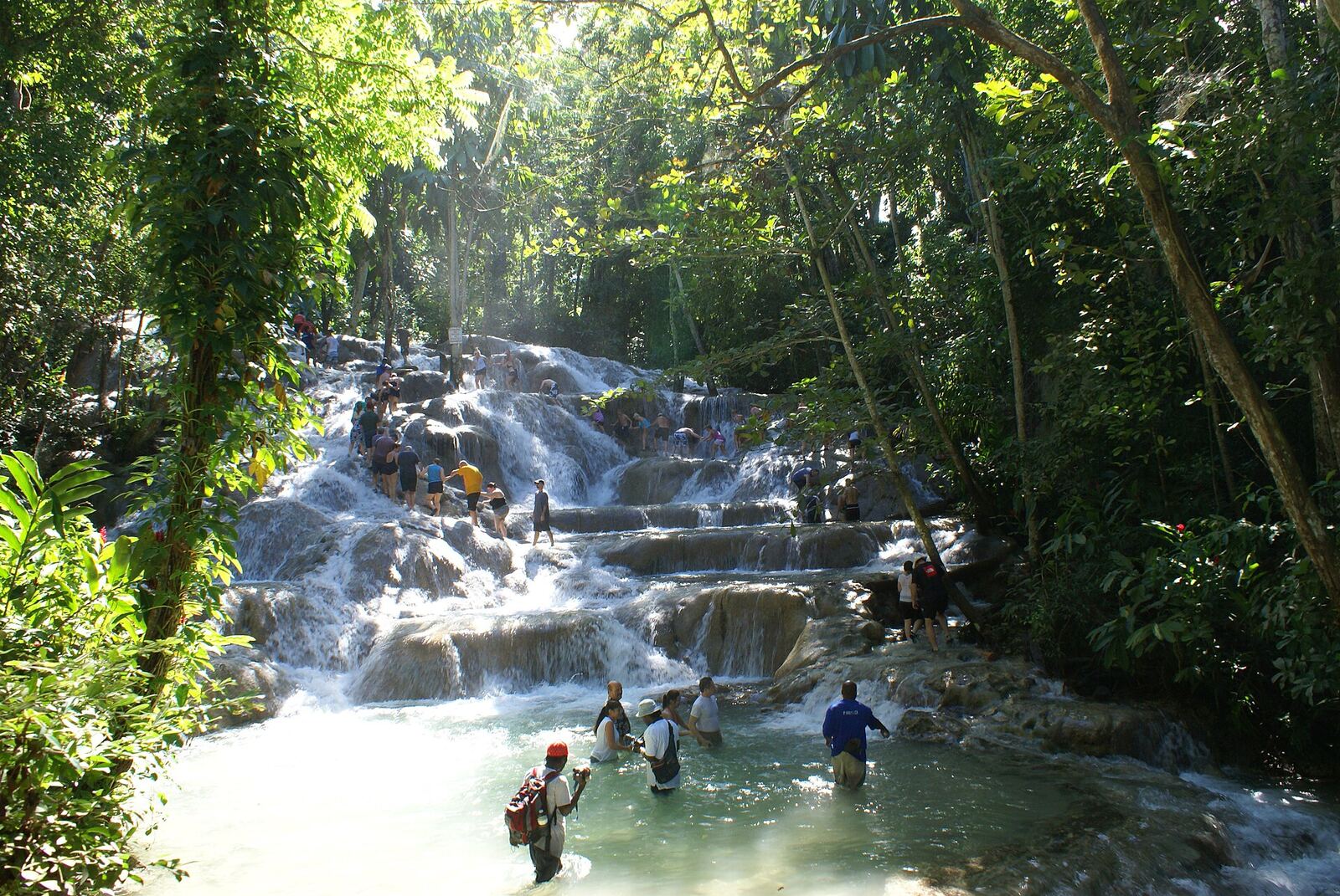
Jamaica
Reggae, jerk smoke, waterfalls and the long sunset sands of Negril.
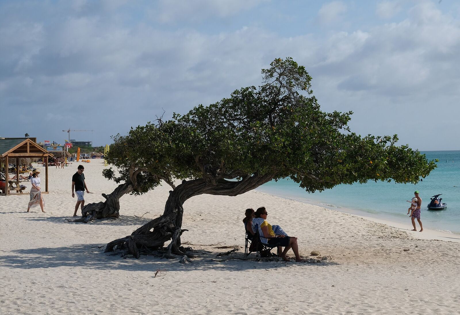
Aruba
Dry, sunny and breezy, with white beaches and a desert-like national park.
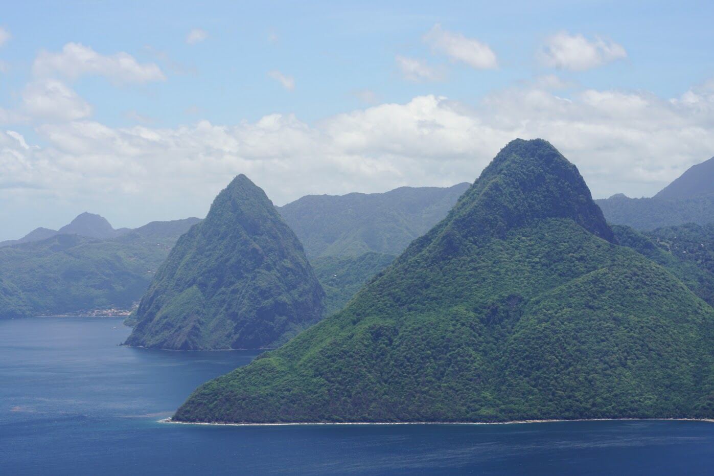
Saint Lucia
The twin Pitons, rainforest, a drive-in volcano and some of the region's most romantic hotels.
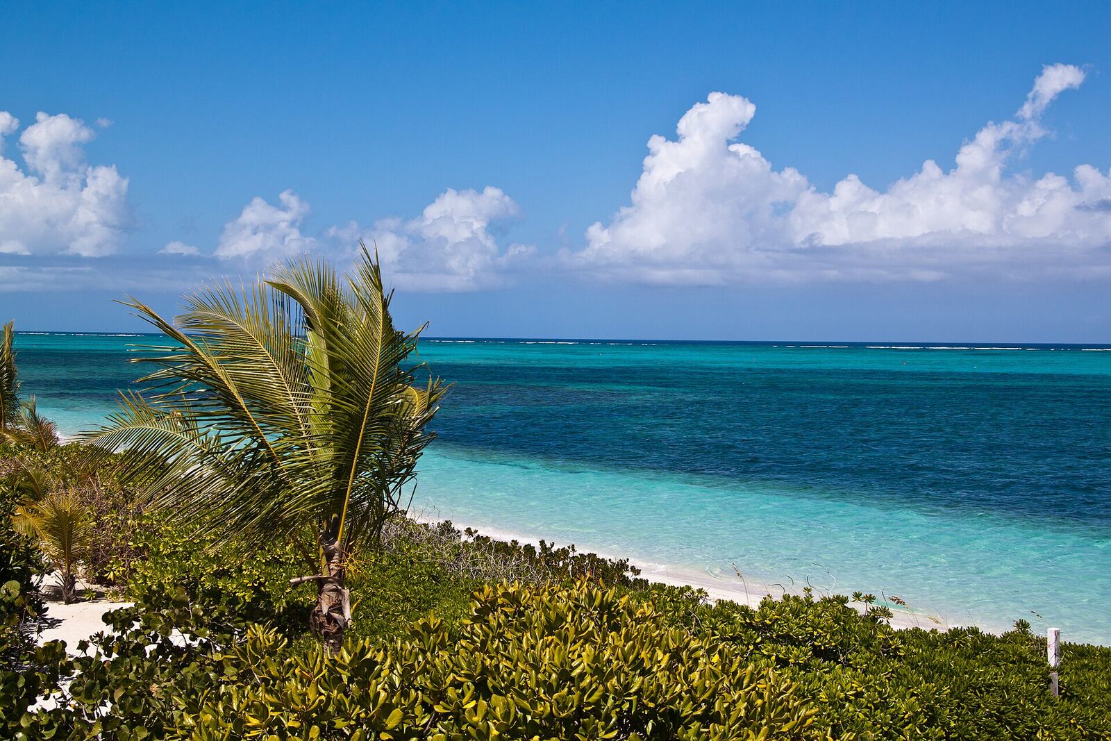
Turks and Caicos
Grace Bay's powder-white sand, reef snorkelling and quiet outer islands.
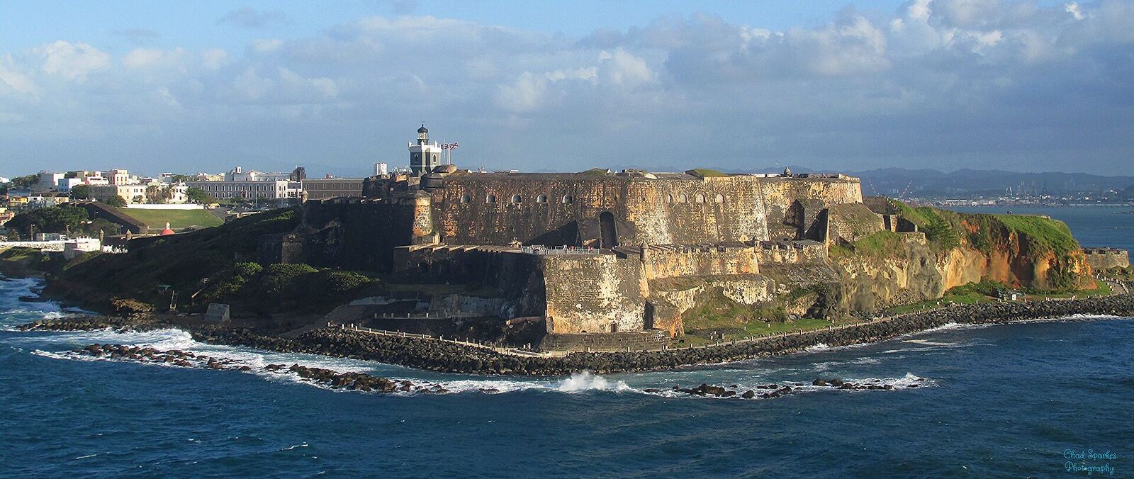
Puerto Rico
Old San Juan's forts, a tropical rainforest and glowing bioluminescent bays.
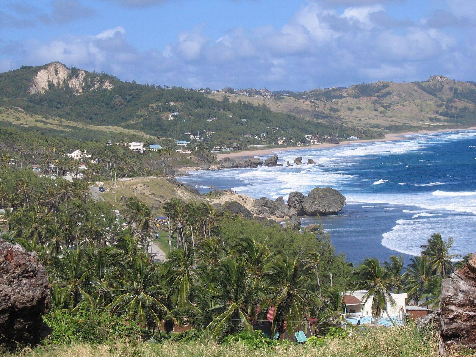
Barbados
Calm west-coast bays, Atlantic surf at Bathsheba, rum shops and cricket.
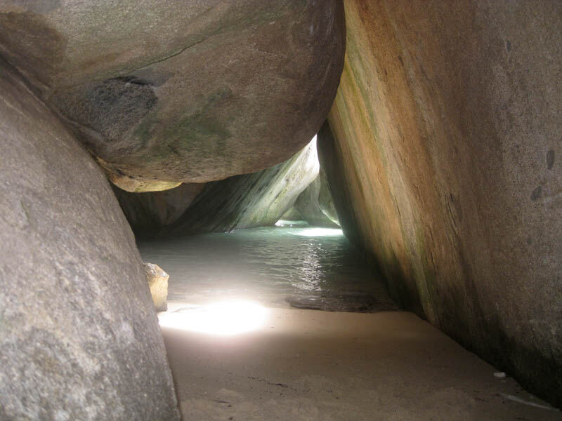
British Virgin Islands
The sailing capital of the Caribbean, with The Baths and easy island hops.
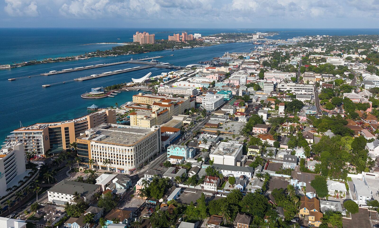
The Bahamas
700 islands of electric-blue water, from Nassau's resorts to the Exuma Cays.
Every landmark, one map
Tap a pin for the guide. Coral pins are landmarks, teal pins are islands and gold pins are neighbouring regions.
Places you can't miss
Grace Bay Beach
Powder-white sand and calm water protected by a barrier reef.
Read guide →The Pitons
Saint Lucia's twin volcanic spires and a UNESCO World Heritage Site.
Read guide →The Baths, Virgin Gorda
Wade through granite grottoes to Devil's Bay.
Read guide →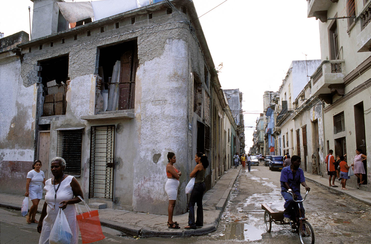
Old Havana
Colonial plazas, vintage cars and live music in a UNESCO-listed old town.
Read guide →Dunn's River Falls
Climb 180 metres of terraced limestone cascades hand-in-hand with a guide.
Read guide →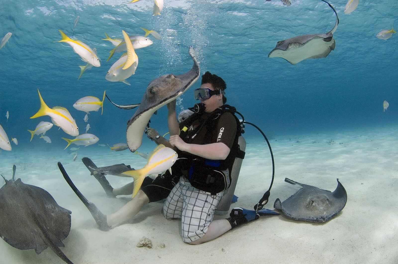
Stingray City
Stand waist-deep among wild southern stingrays.
Read guide →Everything you need, in one place
Book the essentials with trusted partners.
Cross over to the neighbours
The Caribbean Sea doesn't stop at the islands. Pair your trip with Mexico's Riviera Maya, Belize's reef, the Florida Keys or Colombia's colonial coast.
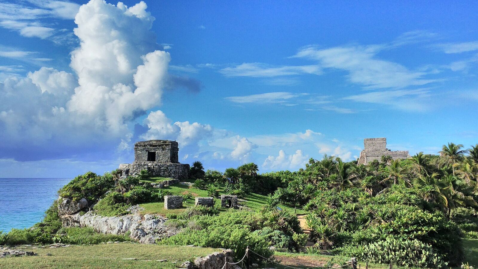
Riviera Maya & Cancún
Maya ruins on cliffs, cenotes and the Caribbean coast of Mexico.
Read guide →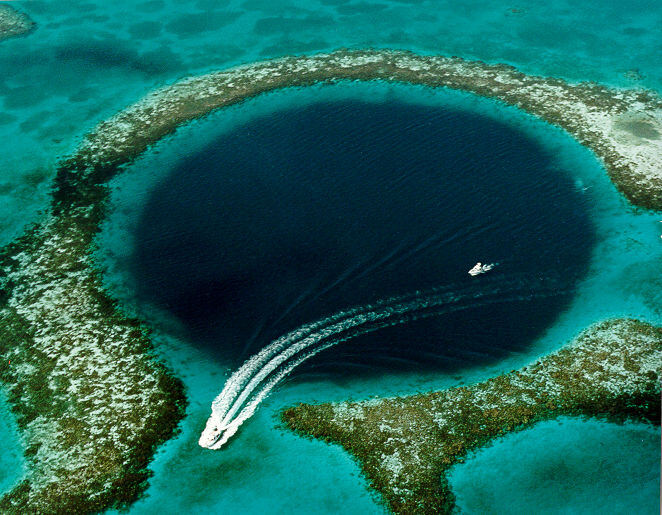
Belize
The Great Blue Hole, barrier-reef cayes and Maya temples in the jungle.
Read guide →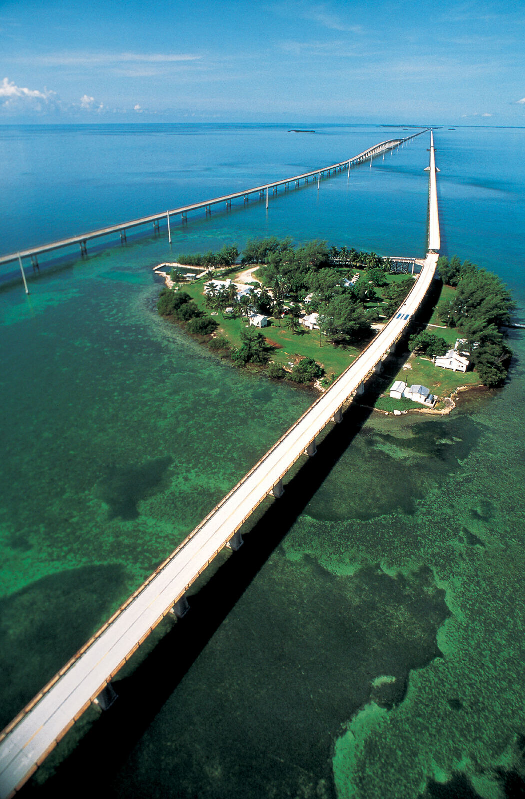
Florida Keys
The Overseas Highway to Key West, the Caribbean's northern doorstep.
Read guide →Latest guides
The Best Caribbean Islands for First-Timers
How to choose your first Caribbean island: beaches, culture, adventure, budget and how easy each island is to reach.
Read article →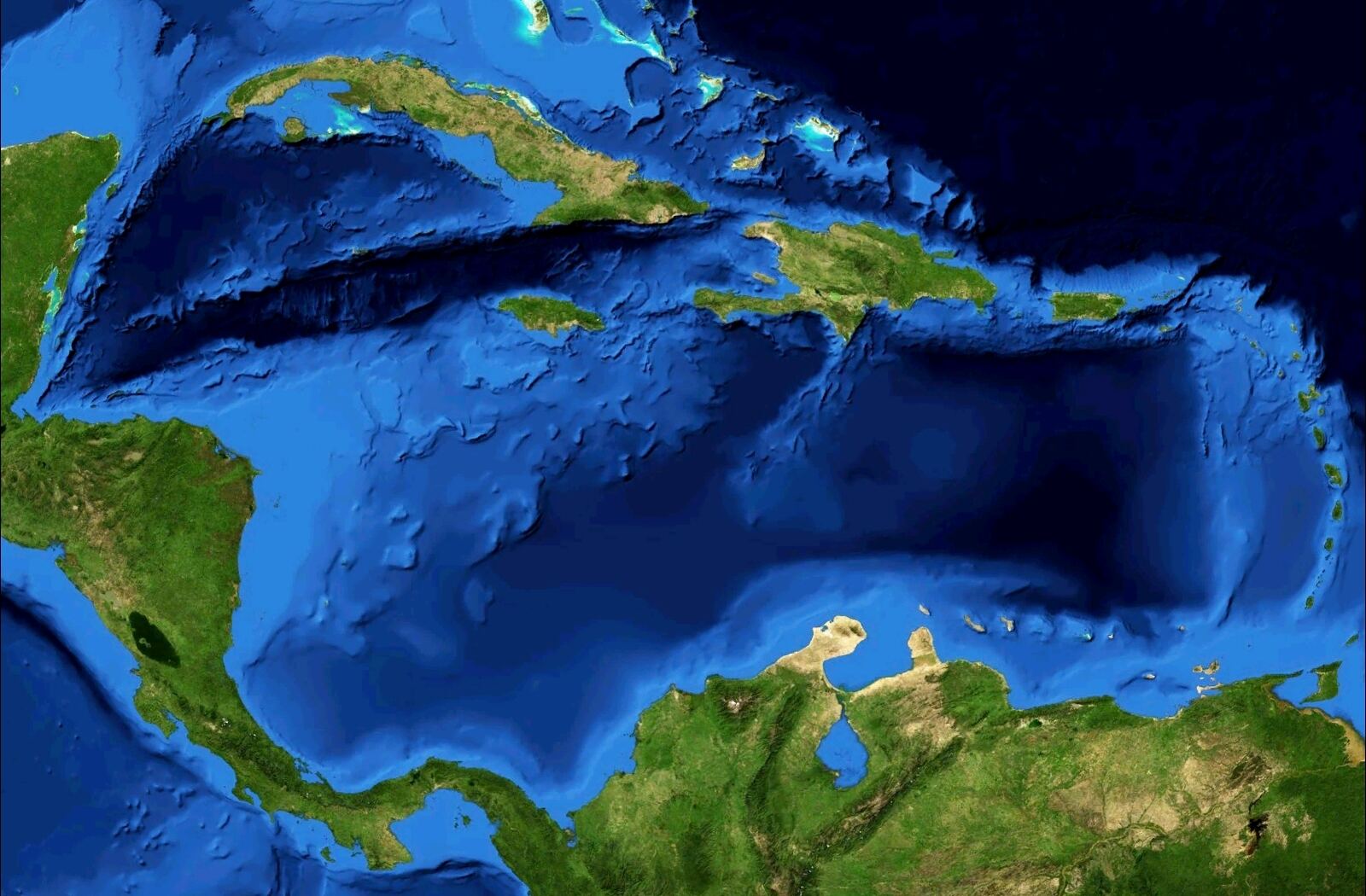
Caribbean Hurricane Season: What Travellers Need to Know
When the Atlantic hurricane season runs, which islands are least affected, and how to travel smartly between June and November.
Read article →Caribbean Island Hopping: Routes That Actually Work
Practical island-hopping routes by ferry and short flight: the Virgin Islands, St Martin and its neighbours, the French Antilles and more.
Read article →Caribbean FAQ
Do I need a passport for the Caribbean?
Almost always. Most islands are independent countries or overseas territories with their own entry rules. US citizens can visit Puerto Rico and the US Virgin Islands without a passport. Always check the latest requirements for your nationality.
When is the best time to visit the Caribbean?
The dry season from mid-December to April has the most reliable weather and the highest prices. Late April to June and November are great value. Hurricane season runs from 1 June to 30 November, peaking from mid-August to mid-October.
Which Caribbean islands are outside the hurricane belt?
Aruba, Bonaire and Curaçao lie south of the main hurricane belt and are rarely affected. Trinidad and Tobago and Grenada are also on its southern edge.
What currency is used in the Caribbean?
It varies by island: US dollars in Puerto Rico, the Virgin Islands, Bonaire and Turks and Caicos; euros in Martinique and Guadeloupe; the East Caribbean dollar in Saint Lucia, Grenada, Antigua and Dominica; and local currencies elsewhere. US dollars are widely accepted in tourist areas.
Is it easy to island-hop?
In some areas, yes. The Virgin Islands, St Martin and its neighbours, and the French Antilles are linked by frequent ferries. Elsewhere you'll usually need short regional flights.